Federal Highway 16 (Spanish: Carretera Federal 16, Fed. 16) is a free part of the federal highways corridors (Spanish: los corredores carreteros federales) of Mexico.
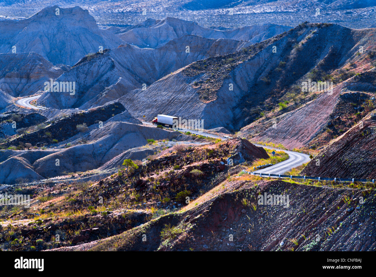
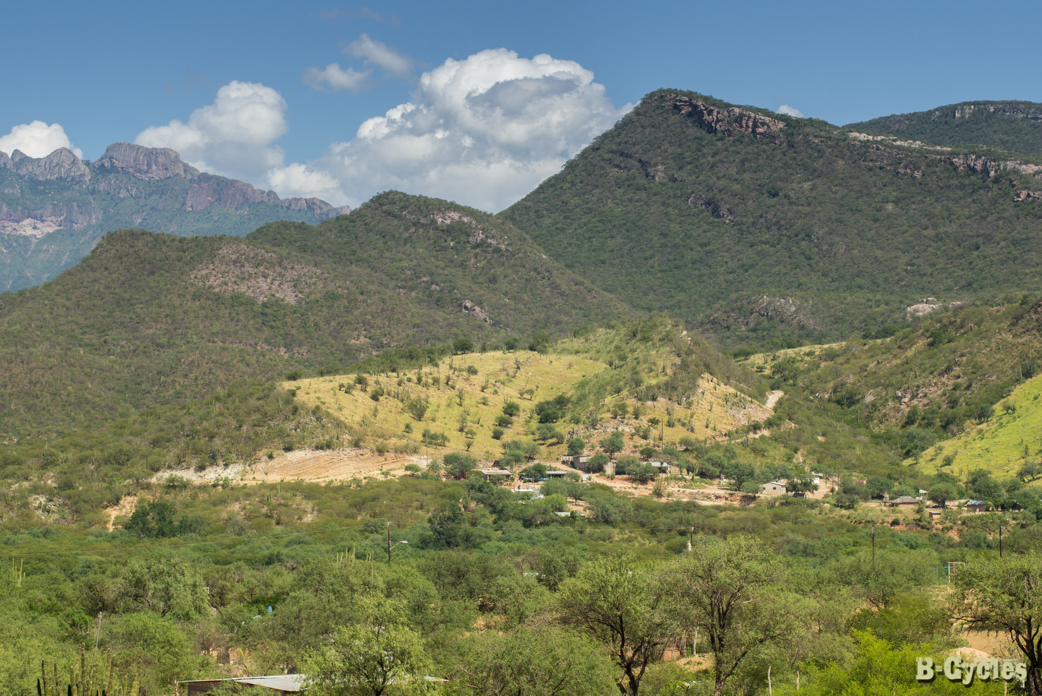
Fed. 16 runs west-east through the northern Sierra Madre Occidental cordillera.
Major intersections
- Western terminus at Fed. 15 in Hermosillo, Sonora
- Son. 117
- Chih. 106
- Chih 25
- Chih. 115 in La Junta
- Chih. 29 in Cuauhtemoc
- Chih. 5 in Cuauhtemoc
- Chih. 23 in Cuauhtemoc
- Chih. 35 in Cuauhtemoc
- Chih. 21 in Guadalupe Victoria
- Chih. 17
- Chih. 276
- Chih. 83 in El Aguaje
- Chih. 35 in Santa Isabel
- Fed. 24 in Nuevo Palomas, Chihuahua
- Fed. 45 in Chihuahua City
- Eastern terminus at US 67 on Presidio–Ojinaga International Bridge between Ojinaga and Presidio, Texas
References